

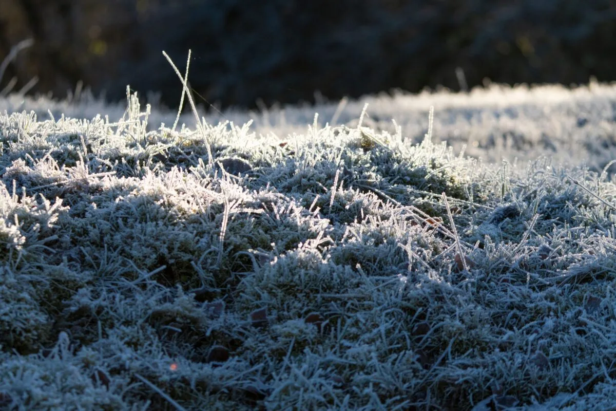
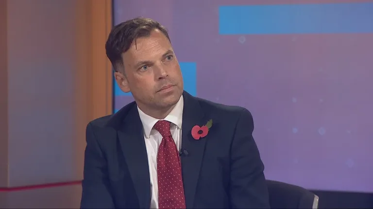
Met Office forecaster Marco Petagna has warned that a weakening polar vortex could expose the UK to Arctic air, significantly increasing the risk of a cold snap later this month. The atmospheric shift threatens to disrupt the ring of powerful winds that typically confines freezing temperatures near the North Pole.
If the stratospheric winds reverse direction, it would constitute a “major sudden stratospheric warming” event, potentially marking the earliest such occurrence ever recorded in meteorological history. This development requires close monitoring by forecasters over the coming weeks to assess its impact on British weather patterns.
Mr Petagna explained: “At the moment, we’ve got a warming taking place in the stratosphere.” The polar vortex in the stratosphere is starting to weaken. He noted that this instability could allow colder air to sweep south towards Britain, altering the expected seasonal progression.
“For the UK, it does increase the chance of cold weather, normally a few weeks down the line, so sort of deeper into November is when we’re more likely to see an influence if it does happen,” the forecaster stated. He cautioned that previous events have not always resulted in severe cold for the UK.
“It’s important to emphasise that there was a major warming event last November, and on that occasion it didn’t directly lead to much cold weather in the UK,” Mr Petagna added. “It doesn’t always happen, it just increases the chance of it occurring.”
In Wales, conditions are expected to remain largely dry across the weekend, with temperatures reaching 12C on the west coast and 10C elsewhere. Although cloud cover is set to increase on Monday, the weather will stay dry with average maximum temperatures holding at 10C.
Elsewhere in the UK, a yellow fog warning is in place across parts of the south west and south east of England, and the Midlands, on Sunday morning. Visibility could plunge below 50 metres in places, potentially disrupting travel for those heading to Remembrance services.
Mr Petagna said conditions should improve through the day, with sunshine breaking through, gentle winds and temperatures around 9C or 10C. Monday is expected to bring another foggy start before rain and stronger winds spread across the UK on Tuesday and Wednesday.
There is also a chance of wintry showers over higher ground in Scotland on Thursday and Friday. Forecasters will continue to monitor the polar vortex to determine whether the disruption will ultimately bring colder conditions to Britain.














Reader Discussion & Comments (0)
Join the conversation. All comments are moderated in accordance with our editorial standards.