Storm Austen brings strong winds to South Wales
Met Office issues warning for Storm Austen as gusts of 70mph threaten exposed coasts in South Wales and the South-West.
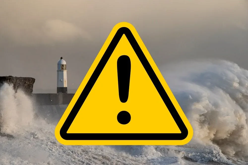
The first named storm of the meteorological season is set to impact parts of Wales, with the Met Office issuing a weather warning for strong winds. Storm Austen is forecast to bring significant gusts to southern regions of the United Kingdom towards the end of the week. The warning specifically covers South Wales and most of South-West England, extending as far east as Brighton along the south coast.
Residents in affected areas should prepare for gusts ranging from 50 to 60mph in inland locations. More exposed coastal zones face the potential for peak gusts exceeding 70mph. The warning period is currently scheduled to run from midnight until midday on Friday, 23 October.
Met Office deputy chief forecaster Tom Crabtree confirmed that while the exact track of the storm is still being determined, the potential for disruption is clear. He stated: “While the exact track and position of Storm Austen is still being determined, what’s clear is that we have an impactful period of weather on the way and the potential for disruption in places, which has resulted in the system being named.”
The forecaster highlighted that peak gusts in excess of 70mph are possible on the most exposed coastal areas. Within the broader warning area, winds of 50-60mph are likely to be more widespread. These conditions could lead to temporary power cuts, travel delays, and damage to loose objects.
Crabtree advised the public to remain vigilant as the situation evolves. He noted: “Weather warnings are under constant review and could be updated as confidence increases, so it’s important to stay up-to-date with the forecast in the coming days.” This ongoing assessment ensures that the most accurate and timely information is provided to those in the path of the storm.
The Met Office storm year runs from September to August, with each 12-month period having its own alphabetical list of names. This year’s list begins with Austen and continues with Boelo, Chloe, Dano and Evelyn, ending at W with Wende. The letters Q, U, X, Y and Z are not used, in line with international storm naming conventions.
The selection process involves collaboration between the Met Office, Met Éireann, and KNMI, the Irish and Dutch national meteorological services respectively. Austen was selected by Met Éireann in honour of Austen Nagle, the first director of the service. Similarly, Evelyn was picked in tribute to Evelyn Murphy, the first woman to present the weather on RTÉ, Ireland’s national public service broadcaster.
Other names on the list are chosen from suggestions submitted by the public. For instance, the name Chloe was nominated more than 130 times by members of the community. This collaborative approach ensures that the naming process reflects a broad range of cultural and historical significance across the UK and Ireland.
The practice of naming storms began in the 2015/16 season, aiming to improve communication regarding severe weather risks. Since then, the furthest letter of the alphabet reached within any 12-month period was L, in 2023/24. In the 2025/26 season, only four storms were named: Amy, Bram, Chandra and Dave.
Met Office head of warnings and guidance, Holly Clements, emphasised the utility of this system for public safety. She said: “For more than a decade, storm naming has helped us communicate the risks from severe weather more effectively.” This strategy has proven vital in ensuring that warnings are understood and acted upon by the public.
Clements added that a named storm provides a clear focus for forecasts and warnings. She explained: “A named storm provides a clear focus for forecasts and warnings, helping more people understand the potential impacts and take action to protect themselves, their families and their property.” This clarity is crucial for emergency planning and personal preparedness.
As Storm Austen approaches, residents in South Wales and the South-West are urged to secure outdoor items and check their travel plans. The Met Office will continue to monitor the storm’s development closely. Updates will be issued as confidence in the forecast increases, ensuring that the public has the latest information to stay safe.