
Arctic blast warning: What the cold spell means for North Wales
Experts explain why October’s “Arctic blast” headlines won’t bring snow to most of North Wales, but could bring rain, wind and brief mountain snow.
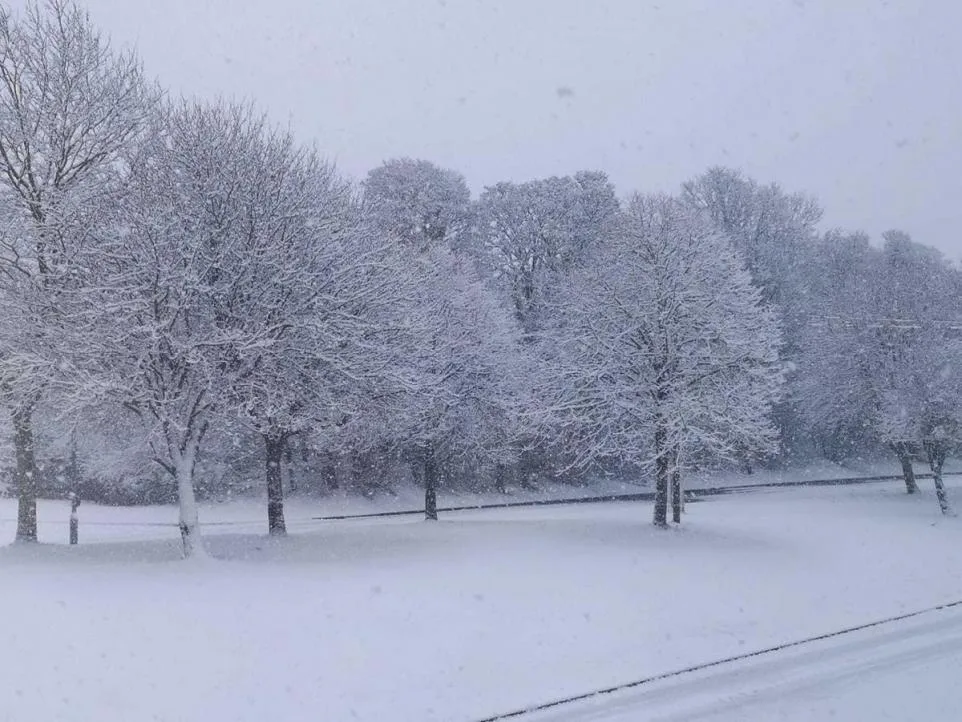
Forecasters warn that the dramatic headlines about an “Arctic blast” and a “polar plunge” do not guarantee snow for North Wales this month.
Weather models for the first half of October show a chance of colder air moving south from the Arctic, but the outlook remains highly fluid and subject to change week by week.
Long‑range guidance from the Met Office points to a changeable start to the season, with rain‑showers and stronger winds likely to affect western Britain, while temperatures stay around or above the seasonal average.
In North Wales the first wintry weather is usually confined to the highest ground in Snowdonia, where snow can linger on the peaks even when the valleys remain mild.
Low‑lying towns such as Wrexham, Flint and the surrounding areas are far more likely to experience rain than any significant snowfall during early autumn.
The term “Arctic blast” simply describes a mass of cold air travelling southwards; it does not automatically translate into widespread snow cover.
Similarly, a “polar plunge” refers to a noticeable drop in temperature, often still within the normal range for the time of year.
Current model runs suggest that any cold spell arriving later in October would bring daytime highs in the lowlands into the low single digits, with night‑time lows dipping into the sub‑zero range on the higher slopes.
Such temperatures are sufficient for occasional flurries on the peaks, but they are unlikely to produce the blanket of snow that headlines have hinted at.
Rainfall is expected to dominate the weather pattern, with the western coastal strip of Conwy and Gwynedd seeing the heaviest showers as Atlantic fronts push inland.
These rain bands will be accompanied by gusts of up to 50 mph, particularly on exposed ridges, raising the risk of localized flooding and wind damage.
Residents in flood‑prone valleys have been reminded to clear drainage systems and keep sandbags handy, while motorists are urged to allow extra travel time on the A5 and A470, where high winds can affect visibility.
For those hoping for a first taste of snow, the best chances remain on the summits of Snowdon, Tryfan and the surrounding peaks, where the Met Office’s short‑range forecasts show a modest probability of light snow on the evenings of 12‑14 October.
Even then, any accumulation is expected to melt quickly once the sun returns, leaving only a brief sparkle on the mountain tops.
Local schools and outdoor event organisers have been advised to monitor the short‑term outlook closely, as sudden temperature swings could affect outdoor activities.
In the meantime, the Met Office will issue more detailed, day‑by‑day forecasts in the coming days, providing a clearer picture of whether the cold air will be strong enough to bring snow to the valleys.
Until then, the prevailing message is one of caution rather than excitement – the “Arctic blast” may bring a chill, but it is unlikely to deliver the winter wonderland many headlines have suggested.