

The polar vortex, a band of strong westerly winds circling the North Pole, has weakened and shifted position in recent days. Met Office lead climate scientist Jeff Knight confirmed this is the earliest such disruption on record in 75 years of modern observations. The event is throwing current winter forecasts into significant uncertainty for the UK and Europe.
High above the Arctic, these winds typically trap some of the coldest air on Earth during winter months. However, atmospheric disturbances have caused the air in the stratosphere to warm rapidly. This sudden stratospheric warming is causing the vortex winds to weaken and potentially reverse direction.
Strong westerly winds usually form 10 to 30 miles above Earth’s surface, locking cold air near the pole. When these winds weaken, they can reverse into easterly winds, altering the position of the jet stream. This shift increases the chance of a blocked weather pattern, bringing drier conditions and colder northerly winds.
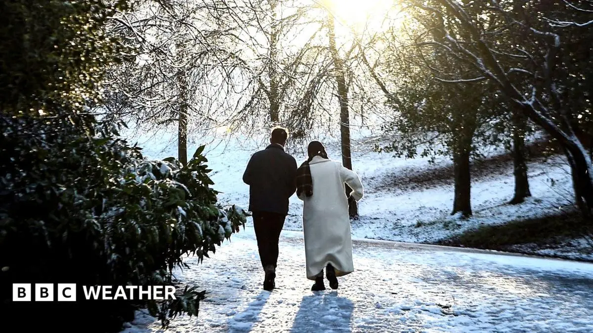
Such disruptions can boost the possibility of snow, particularly in eastern parts of the UK. Most sudden stratospheric warming events tend to occur from mid-winter onwards. We are currently witnessing a dramatic weakening, with some forecasts showing a full reversal of polar vortex winds by mid-November.
The vortex has stretched and briefly split into two smaller circulations around the Arctic region. If the winds continue to weaken and reverse as forecast, this will be classified as a major sudden stratospheric warming event. The current earliest major event on record occurred on 28 November in both 1969 and 2025.
Jeff Knight, lead climate scientist from the Met Office, stated: “It would appear to be the earliest on record looking back over the 75 years we’ve been observing…with most experts agreeing this is a very unusual event. The precise reasons for such an early occurrence remain unclear to atmospheric scientists.
It could simply be part of the natural variability of our weather patterns. However, in a “normal” El Niño year, a weakening of the polar vortex typically occurs towards the end of winter. The warmer waters of the Pacific directly disrupt weather around tropical areas during these periods.
Pulses of energy in the atmosphere, known as planetary waves, can cause disturbances even at polar regions. These waves can push the polar vortex out of position and break the circulation up entirely. With the current record El Niño, we are taking us into uncharted territory regarding worldwide weather patterns.
Jeff Knight suggested the El Niño could have “helped load the dice for this SSW event. However, because this specific early timing is so rare, there is not enough evidence to confirm a direct link. A connection between a strong El Niño and early onset of an SSW event remains unclear and will need further research.
Long-range forecasts issued by the Met Office indicate the UK was more likely to see a stormy start to winter. This is followed by a colder spell to end the winter season. This outlook is consistent with expectations derived from a typical El Niño pattern.
However, this unusually early SSW event was not widely expected by meteorologists. Professor Andrew Charlton-Perez, a meteorologist at the University of Reading, noted the typical response to an SSW is colder and drier conditions over Europe and the UK. The rarity of this specific timing complicates immediate predictions.
Professor Charlton-Perez said: “Because we haven’t seen a SSW event quite like this before, it is harder to anticipate a cold spell at the moment. The Arctic is not yet as cold as it becomes later in winter. The polar vortex itself has only recently developed this season.
Any influence on weather patterns could be weaker than during a mid-winter disruption. Because the air is not at mid-winter temperatures yet, cold and snowy weather for the UK is far from guaranteed. Experts stress that it is too early to know if recent changes will alter the winter outlook.
Long-term forecasts rely on large-scale climate signals and their historical effects on weather patterns. Much of the forecast for this autumn and winter has focused on the influence of the exceptionally strong El Niño. This points to a stormier start to winter, with potential for colder and drier conditions from January.
This unusually early disruption presents meteorologists with a situation for which there are few modern comparisons. For Professor Charlton-Perez, the “concerning thing would be if this event ends up bringing the typical drier weather pattern and lack of rain. This is associated with sudden stratospheric warming over the coming months.
With most of England and Wales still in drought, reliance on a wetter winter is critical. We need rain to fill up extremely low reservoirs across the country. A continuation of drier than average conditions would be deeply concerning for water resources.
While snow is not likely in the coming weeks, the potential for dry weather remains a key focus. The interaction between the early SSW and the strong El Niño creates a complex atmospheric scenario. Further research is required to understand the long-term implications of this unprecedented early-season disruption.
The situation remains fluid, with forecasts subject to change as new data emerges. Public attention is turning to whether this early anomaly will significantly impact the UK’s winter weather trajectory.
Scientists emphasize the importance of distinguishing between short-term weather and long-term climate signals. The current event highlights the complexity of atmospheric dynamics in a changing climate. Continued observation is essential to build a more robust understanding of these rare phenomena.
The potential for a colder, drier winter remains a subject of intense scientific debate. While the El Niño suggests a stormy start, the SSW introduces a variable for less precipitation. This combination poses challenges for water management and agricultural planning across the UK.
As the weeks progress, meteorologists will assess whether the vortex winds fully reverse. This will determine the severity of any subsequent cold spell. The early timing of this event makes it a critical case study for future climate modelling and prediction systems.
Reporting verified from official briefings and primary coverage by www.bbc.com.











Reader Discussion & Comments (0)
Join the conversation. All comments are moderated in accordance with our editorial standards.